Record Detail
Move cursor over image to magnify
| s12346 | |
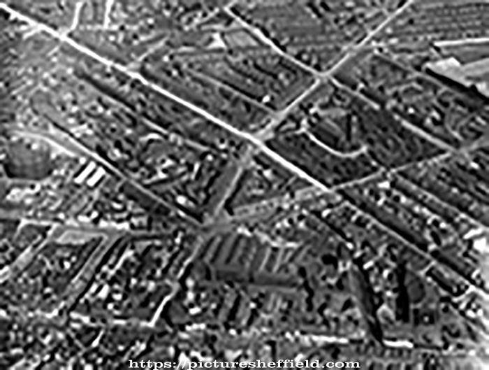
| Aerial view - City Centre and St. Mary's including St. Mary's Road to left of St. Mary's Church, Britannia Brewery, Clough Road, right of church, Bramall Lane, front of church, Brunswick Chapel and The Moor in foreground and Vulcan Works behi | |
| Sheffield_St_Marys | |
| 1935 | |
| 1920-1939 | |
The gasometer was situated off Sylvester Street. |
Copying and access
This digital image, and all images on Picture Sheffield, are protected by copyright. You may use it for private study or non-commercial research, with due acknowledgement.
You may share it on social media via a linked post or by citing www.picturesheffield.com together with the Image Reference, unless its copyright is noted as belonging to another organisation. You must not reproduce it by any other means without permission.