Search Results
Found 53 records
| No | Image | Details | Add to Album |
|---|---|---|---|
| 1 |  | q00046 Ordnance Survey Map, sheet no. Yorkshire No. 294.4.24 | |
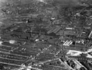
| 2 |  | s12379 Aerial view - Atlas and Norfolk Works (centre), roads including Sutherland Road, Harleston Road, Maxwell Street and Ellesmere Road School (bottom right) | |
| 3 |  | u00903 Smith's Pie Shop on the corner of Harleston Street/Forncett Street |
Found 53 records.