Search Results
Found 11312 records
| No | Image | Details | Add to Album |
|---|---|---|---|
| 1 | 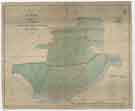 | arc04593 A map of the Estate in the Township of Kimberworth belonging to Samuel Kirk | |
| 2 | ![Map of Attercliffe, [c. 1815 - 1849]](https://www.picturesheffield.com/imagefiles/jpgs_sheffield3//arc04597.jpg "Map of Attercliffe, [c. 1815 - 1849]") | arc04597 Map of Attercliffe, [c. 1815 - 1849] | |
| 3 | 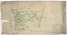 | arc04600 Plan of building lots on Park Hill, extending from the Canal Basin to Shrewsbury Street, and east to Park Hill Lane, c. 1800 | |
| 4 | 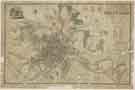 | y18007 A Map of the Town and Environs of Sheffield in the West Riding of the County of York | |
| 5 | 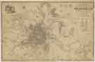 | y18008 A Map of the Town and Environs of Sheffield in the West Riding of the County of York | |
| 6 | 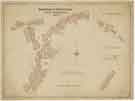 | y18009 Borough of Sheffield Street Improvements | |
| 7 | 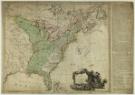 | arc08042 The United States of North America with the British and Spanish territories | |
| 8 | 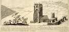 | u13856 View of Beauchief Abbey, an engraving by S. and N. Buck | |
| 9 | ![East view of Sheffield in 1745 [from Park Hill], from the original sketch by Samuel Buck](https://www.picturesheffield.com/imagefiles/jpgs_sheffield3//u13900.jpg "East view of Sheffield in 1745 [from Park Hill], from the original sketch by Samuel Buck") | u13900 East view of Sheffield in 1745 [from Park Hill], from the original sketch by Samuel Buck | |
| 10 | 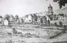 | w02952 Backfields |
Found 11312 records.