Search Results
Found 8642 records
| No | Image | Details | Add to Album |
|---|---|---|---|
| 1 |  | y18036 Map of Sheffield showing local government wards | |
| 2 | 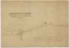 | y18047 Plan of that part of the Turnpike Road from Sheffield to Worksop situate adjoining the Canal Aqueduct in Attercliffe | |
| 3 |  | u13900 East view of Sheffield in 1745 [from Park Hill], from the original sketch by Samuel Buck | |
| 4 | 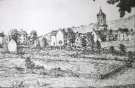 | w02952 Backfields | |
| 5 | 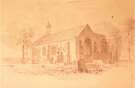 | w03114 Attercliffe Chapel of Ease and burial ground, Hill Top, Attercliffe Common | |
| 6 | 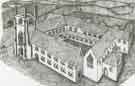 | w03390 Beauchief Abbey, off Abbey Lane | |
| 7 |  | arc04573 A plan of Handsworth Commons | |
| 8 |  | arc04572 A survey of The Hayfield Spring in the Parish of Handsworth [High Field Spring Wood, Handsworth] | |
| 9 |  | arc08589 A map of two parcels of freehold land and buildings at Attercliffe | |
| 10 |  | arc08590 A plan of part of the ground belonging to John Greaves and of the adjacent part of the ground belonging to the corporation of Cutlers, betwixt the Far gate [Fargate] and Church Lane |
Found 8642 records.