Search Results
Found 412 records
| No | Image | Details | Add to Album |
|---|---|---|---|
| 1 | 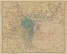 | y18035 Charles Hooper and Co. Ltd's Map of Sheffield | |
| 2 |  | y18049 Ordnance Survey of Yorkshire 1890-96: Attercliffe and part of Darnall | |
| 3 | 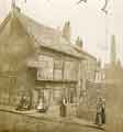 | t17653 Old Queen's Head public house (formerly the Hall in the Ponds), No. 40 Pond Hill | |
| 4 | 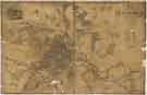 | y18033 Map of the Town and Environs of Sheffield in the West Riding of the County of York | |
| 5 |  | y18036 Map of Sheffield showing local government wards | |
| 6 |  | y18047 Plan of that part of the Turnpike Road from Sheffield to Worksop situate adjoining the Canal Aqueduct in Attercliffe | |
| 7 | 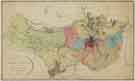 | y18026 A Map of the Parish of Sheffield in the County of York | |
| 8 |  | y18032 A Map of the Parish of Sheffield in the County of York | |
| 9 |  | y18048 A Draft shewing the dispersed situation of the principal Properties in part of the Township of Attercliffe and Darnall | |
| 10 |  | y18050 The Brightside district of Sheffield about 1790 (compiled c. 1952) |
Found 412 records.