Search Results
Found 123694 records
| No | Image | Details | Add to Album |
|---|---|---|---|
| 1 | 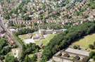 | w00844 Aerial view of Abbeydale/Millhouses area. Abbeydale Grange Upper and Lower School. Abbeydale Road, left. Roads in background include Hastings Road, Springfield Road and Millhouses Lane | |
| 2 | 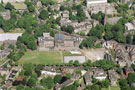 | w00845 Aerial view of King Edward VII Secondary School, Glossop Road. Clarkehouse Road in foreground. Newbould Lane, left | |
| 3 | 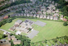 | w00846 Sir Harold Jackson Primary School , Bradway Drive. St. Quentin Drive in background | |
| 4 | 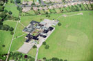 | w00847 Aerial view of King Ecgbert Secondary School, Mercia Site, Totley Brook Road | |
| 5 | 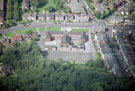 | w00848 Abbey Lane Primary School, Abbey Lane showing (right) Harbord Road | |
| 6 | 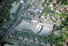 | w00849 Mundella Primary School, Mundella Place. Mount View Avenue in foreground, Derbyshire Lane, left | |
| 7 | 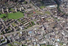 | w00850 Aerial view of Kelvin, Upperthorpe and Netherthorpe area. | |
| 8 | 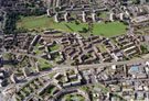 | w00851 Aerial view of Netherthorpe and Upperthorpe area. Prominent roads in foreground are Upperthorpe Road, Upper Allen Street, Weston Street and St. Philip's Road | |
| 9 | 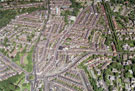 | w00852 Aerial view of Nether Edge and Broomhall area. Prominent roads include Brocco Bank, left. Ecclesall Road, Sharrow Vale Road, Cowlishaw Road and Junction Road (including Hunters Bar School), centre. | |
| 10 | 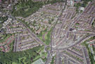 | w00853 Aerial view of Endcliffe, Broomhall and Nether Edge area. Prominent roads include Brocco Bank, left. Ecclesall Road, centre. Sharrow Vale Road and Junction Road (including Hunters Bar School), right |
Found 123694 records.