Search Results
Found 123694 records
| No | Image | Details | Add to Album |
|---|---|---|---|
| 1 | 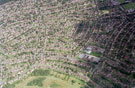 | w00937 Aerial view of Shiregreen area. Prominent roads in foreground include Hartley Brook Road (including Hartley Brook School), Hartley Brook Avenue and Nether Shire Lane. Roads in centre of picture include Gregg House Road and Shirehall Road | |
| 2 | 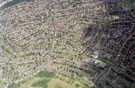 | w00938 Aerial view of Shiregreen area. Prominent roads in foreground include Hartley Brook Road (including Hartley Brook School), Hartley Brook Avenue and Nether Shire Lane. Roads in centre of picture include Gregg House Road and Shirehall Road | |
| 3 | 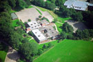 | w00948 Aerial view of Lygate Middle School with Tapton Hall right | |
| 4 | 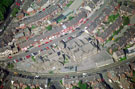 | w00949 Aerial view of Hunter's Bar School. Junction Road in foreground, Sharrow Vale Road, Neill Road and Kirkstall Road at rear | |
| 5 | 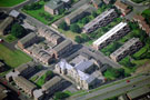 | w00950 Aerial view of Netherthorpe School, Netherhorpe Street. Dover Street, centre | |
| 6 | 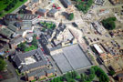 | w00951 Aerial view of Springfield Junior School, Cavendish Street. Construction of new housing estate, right | |
| 7 | 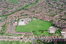 | w00952 Aerial view of unidentified area including two unidentified schools | |
| 8 | 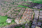 | w00953 Aerial view of unidentified area including an unidentified school | |
| 9 | 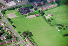 | w00954 Aerial view of Gleadless School and Jaunty Park, Hollinsend Road, Jaunty Lane, left. Frith Road and Frith Close, top right | |
| 10 | 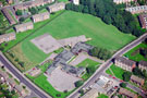 | w00955 Aerial view of Hemsworth Primary School at the junction of Blackstock Road left and Constable Road right |
Found 123694 records.