Search Results
Found 123694 records
| No | Image | Details | Add to Album |
|---|---|---|---|
| 1 | 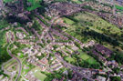 | w00976 Aerial view of Shirecliffe/Pitsmoor area. Prominent roads include Firshill Crescent, left. Barnsley Road leading to Burngreave Road and Pitsmoor Road, centre. Scott Road and Burngreave Cemetery in background | |
| 2 | 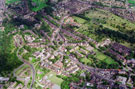 | w00977 Aerial view of Shirecliffe/Pitsmoor area. Prominent roads include Firshill Crescent, left. Barnsley Road leading to Burngreave Road and Pitsmoor Road, centre. Scott Road and Burngreave Cemetery in background | |
| 3 | 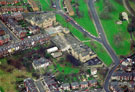 | w00978 Upperthorpe First and Middle School, Fox Road and Sherde Road, right. Boyce Street, left, centre | |
| 4 |  | w00979 Aerial view of Morley Street including Rivelin Primary School | |
| 5 |  | w00980 Aerial view of St. Marie's RC School, Fulwood Road | |
| 6 | 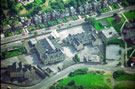 | w00981 Aerial view of Owler Brook Nursery First School and Earl Marshal Campus, Earl Marshal Road. Owler Lane in foreground | |
| 7 | 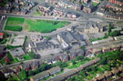 | w00982 Aerial view of Owler Brook Nursery First School , left, and Earl Marshal Campus, Earl Marshal Road. Owler Lane, Rushby Street and Page Hall Road in background | |
| 8 | 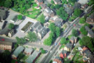 | w00983 Aerial view of Firs Hill School, Orphanage Road. Barnsley Road, right. Firshill Avenue, top, centre | |
| 9 |  | w00984 Aerial view of Frecheville area. Birley Primary and Secondary School and Thornbridge County Secondary School, Thornbridge Avenue, foreground. Other prominent roads include Thornbridge Road | |
| 10 |  | w00985 Aerial view of Frecheville area. Birley Primary and Secondary School and Thornbridge County Secondary School, Thornbridge Avenue, foreground |
Found 123694 records.