Search Results
Found 123694 records
| No | Image | Details | Add to Album |
|---|---|---|---|
| 1 | 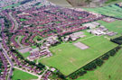 | w00986 Aerial view of Frecheville area. Birley Secondary School, Birley Primary School and Thornbridge County Secondary School, Thornbridge Avenue in foreground. Thornbridge Road in background. Hayfield Crescent, foreground, left | |
| 2 | 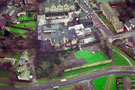 | w00987 Aerial view of Firs Hill Junior School, Orphange Road. Firshill Crescent in foreground | |
| 3 | 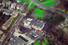 | w00988 Aerial view of Firs Hill Junior School, Orphange Road. Roe Lane, top left | |
| 4 | 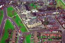 | w00989 Aerial view of Upperthorpe Middle School and Upperthorpe First School, at rear. Daniel Hill Street in foreground. Fox Road and Sherde Road, left. Bransby Street and Boyce Street, right | |
| 5 |  | w00990 Aerial view of Upperthorpe Middle School, right and Upperthorpe First School, left. Sherde Road and Fox Road in foreground. Boyce Street at rear of school, right | |
| 6 | 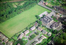 | w00991 Lound Junior School, Lound Side, Chapeltown. Mafeking Place, top, right. Mount Pleasant Close in foreground | |
| 7 | 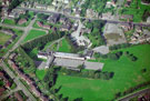 | w00992 Aerial view of Ecclesfield Town School. Monteney Crescent and Greaves Road in foreground. High Street in background | |
| 8 | 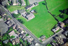 | w00993 Aerial view of Grenoside showing Norfolk Hill (top to bottom of photograph);Grenoside J and I School (top) Main Street and Library with the base of the former Air Raid Shelter visible adjacent | |
| 9 |  | w00994 Fox Hill Junior and Infants School, Keats Road, Foxhill. Wilcox Road, top, Cowper Crescent, left | |
| 10 | 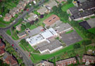 | w00995 Aerial view of Royd Nursery Infants School, Carr Road, Deepcar. Deepcar St. John's C of E Junior School, St Margaret Avenue, top, left |
Found 123694 records.