Search Results
Found 123196 records
| No | Image | Details | Add to Album |
|---|---|---|---|
| 1 | 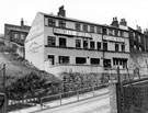 | s13924 Whitby and Chandler Ltd., Witchan Works, belting manufacturers, Brunswick Road | |
| 2 | 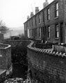 | s13926 Nos. 25 - 9 Brook Terrace, Grimesthorpe (between Owler Lane and Upwell Lane) looking towards Chamber Lane showing Bagley Dyke | |
| 3 | 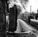 | s13930 Brunswick Street, Broomhall | |
| 4 | 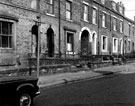 | s13931 Housing, Brunswick Street, Broomhall | |
| 5 | 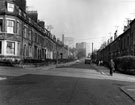 | s13932 Housing, Brunswick Street looking towards Sheffield University, Broomhall | |
| 6 | 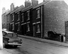 | s13933 Nos. 4 - 14 Bubwith Road, Brightside | |
| 7 | 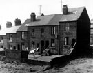 | s13934 Rear of Nos. 18 - 12 Bubwith Road, Brightside | |
| 8 | 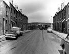 | s13935 Bubwith Road, Brightside looking towards Wincobank Hill | |
| 9 | 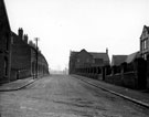 | s13936 Buckenham Street, Burngreave showing Ellesmere Road School, Methodist Chapel and Sunday School (right) | |
| 10 | 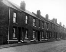 | s13937 Nos. 58 - 40 Buckenham Street, Burngreave looking towards Ellesmere Road |
Found 123196 records.