Search Results
Found 123196 records
| No | Image | Details | Add to Album |
|---|---|---|---|
| 1 | 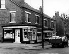 | s16994 Hangingwater Road at junction with Armthorpe Road, No. 102 W.H.E. Pagdin, grocers, No. 100 Jn. Dalton, fried fish dealer, No. 98 Wm. Marsden and Son Ltd., butchers | |
| 2 | 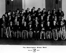 | s17058 Stannington Brass Band | |
| 3 | 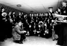 | s17060 Stannington Brass Band showing new uniforms | |
| 4 | 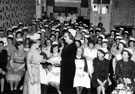 | s17082 Retirement of Matron Miss P. Glossop, Royal Infirmary, Infirmary Road | |
| 5 | 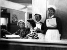 | s17093 Out Patients Records, Round House, Royal Infirmary, Infirmary Road | |
| 6 | 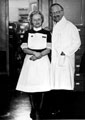 | s17095 Miss Ivy Rotherham with Dr. Morton, the venereal disease Consultant at the Royal Infirmary, Infirmary Road | |
| 7 | 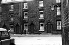 | s17101 Evans Street taken from Egerton Lane | |
| 8 | 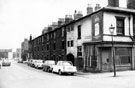 | s17102 Headford Street from Broomhall Street, showing back to back housing | |
| 9 | 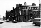 | s17103 Headford Street at junction with Milton Street, former premises of John McClory and Sons, cutlery manufacturers, right | |
| 10 | 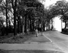 | s17109 Hemsworth Road before alterations, looking west, opposite Lees Hall Golf Club |
Found 123196 records.