Search Results
Found 123196 records
| No | Image | Details | Add to Album |
|---|---|---|---|
| 1 | 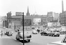 | s19890 Nos. 35-37 T J. Dobson, electrical store, 39 J.H Shaw newsagent, West Bar Green showing No. 115 H F and Co. Ltd at Wostenholm Hall with (back) former St. Peter's Parish School. Kent and Co, mattress makers (centre) Queen Street and Silver Street Head | |
| 2 | 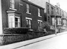 | s19891 Hill Side, No. 11, Monckton Rd., and Nos. 42, 40, 36 etc., Tenterden Street, High Wincobank | |
| 3 | 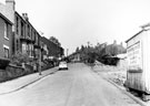 | s19892 Nos. 42, 40, 38 etc., Tenterden Road, High Wincobank looking towards Leedham Road | |
| 4 | 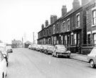 | s19893 Nos. 12 - 34 Terry Street looking towards the Lodge in Carbrook Park | |
| 5 | 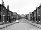 | s19894 Nos. 40, 42, 44 etc. (right), and Nos. 47, 49, 51 etc., Thames Road, Darnall looking towards Harrogate Street and Cravens Ltd., | |
| 6 | 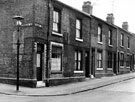 | s19895 Nos. 48 Thames Road store, 46, 44 etc., Thames Road, Darnall from the junction of Harrogate Road | |
| 7 | 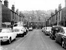 | s19896 Thirlmere Road looking towards Rydal Road | |
| 8 | 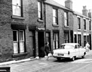 | s19897 Thirlmere Road | |
| 9 | 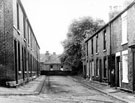 | s19898 Thirlwell Bank, Heeley, from Thirlwell Road, looking towards rear of houses fronting Albert Road | |
| 10 | 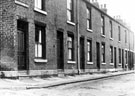 | s19899 Thirlwell Bank, Heeley |
Found 123196 records.