Search Results
Found 123551 records
| No | Image | Details | Add to Album |
|---|---|---|---|
| 1 | 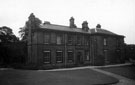 | s05322 Barnes Hall, off Elliott Lane, Chapeltown | |
| 2 | 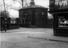 | s05392 Hillsborough Park Lodge, Penistone Road showing (right) Dutton Road | |
| 3 | 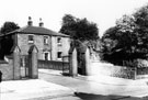 | s05414 Sutton Cottage, No. 19 Winter Street and rear entrance to University of Sheffield (former road named Reliance Place) | |
| 4 | 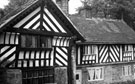 | s05433 Bishops' House, Meersbrook Park, off Norton Lees Lane. | |
| 5 | 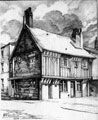 | s05464 Old Queen's Head public house (formerly the Hall in the Pond), No. 40 Pond Hill | |
| 6 | 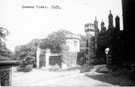 | s05605 Entrance to Queen's Tower, East Bank Road, Norfolk Park. Designed by Samuel Roberts in 1834. Roberts, a great admirer of Mary, Queen of Scots, who was imprisioned at Sheffield Manor House, designed the house in castle form, complete with turrets | |
| 7 | 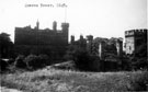 | s05606 Queen's Tower, East Bank Road, Norfolk Park. Designed by Samuel Roberts in 1834. Roberts, a great admirer of Mary, Queen of Scots, who was imprisioned at Sheffield Manor House, designed the house in castle form, complete with turrets | |
| 8 | 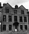 | s05687 Norwood Hall (also known as Bishopholme), Herries Road | |
| 9 | 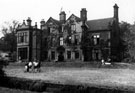 | s05688 Norwood Hall (also known as Bishopholme), N. F. S. 'B' Dv. Hq., Herries Road | |
| 10 | 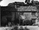 | s05712 Greenhill Hall, off Greenhill Main Road. Central section dated from the 14th century. Later part was built in the 16th century. Residence of Jerome Blythe, Thurstan Kirke and John Bullock. Demolished in 1960s |
Found 123551 records.