Search Results
Found 123551 records
| No | Image | Details | Add to Album |
|---|---|---|---|
| 1 | 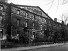 | s13873 Broomhall Place off Broomhall Street, Broomhall (row of housing were originally called Broomhall Place and street was an extension of Sunny Bank) | |
| 2 | 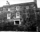 | s13874 Mazzol House, No. 41 Broomhall Place off Broomhall Street, Broomhall (row of housing were originally called Broomhall Place and street was an extension of Sunny Bank) | |
| 3 | 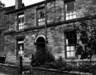 | s13882 No. 180 Broomspring Lane (next to Springfield Tavern), Broomhall | |
| 4 | 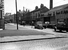 | s13897 Brown Street and corner of Furnival Street looking towards Paternoster Row, Hatfield Ernest W. Ltd., Garage, No. 55, Brown Street, Rutland Arms, left | |
| 5 | 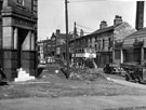 | s13898 Brown Street at corner of Furnival Street, Rutland Arms, left, Hatfield Ernest W. Ltd., garage, No. 55, Brown Street, right | |
| 6 | 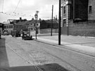 | s13899 Brown Street looking towards Sidney Street, Rutland Arms, right, No. 10 Sidney Street, Philip C. Booth and Co. Ltd., packing case manufacturers | |
| 7 | 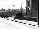 | s13900 Brown Street looking towards Sidney Street and Furnival Street, Rutland Arms, right, No. 10 Sidney Street, Philip C. Booth and Co. Ltd., packing case manufacturers | |
| 8 | 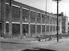 | s13901 Furnival Street, Central Case Co. Ltd., cutlery case makers, Rutland Arms and Arundel Lane in distance | |
| 9 | 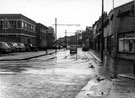 | s13902 Brown Street looking towards Paternoster Row, Hatfield Ernest W. Ltd., garage, No. 55 Brown Street, right | |
| 10 | 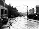 | s13903 Brown Street looking towards Sidney Street, No. 1 Brown Street, Autoways (1931) Ltd., automobile engineers |
Found 123551 records.