Search Results
Found 123551 records
| No | Image | Details | Add to Album |
|---|---|---|---|
| 1 | 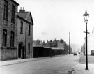 | s17143 Hermitage Street, former St. Mary's National Schools and (left) No. 40, caretakers house | |
| 2 | 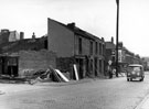 | s17144 Demolition of premises on Hermitage Street, looking towards St. Mary's Road including No 1, Norfolk Hotel (on corner) | |
| 3 | 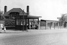 | s17145 Bus shelters on Herries Drive with the Longley School caretakers house, Raisen Hall Road behind | |
| 4 | 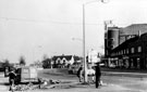 | s17147 Herries Road at the junction wiith Herries Drive showing the Essoldo Cinema (Forum) | |
| 5 | 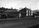 | s17149 Nos. 922 - 924 Herries Road and Omnibus Depot, near the junction of Penistone Road North. Land to left of houses was used for visiting fairs. The 1934 Map shows no other buildings except for the semi-detached properties | |
| 6 | 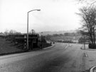 | s17150 Looking South East along Herries Road at the junction with Norwood Road showing the bus stop near the entrance to City General Hospital (later Northern General) and prefab housing on the right | |
| 7 | 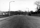 | s17151 Looking north-west along Herries Road towards the junction with Norward Road grounds of the City General Hospital (later Northern General) on the right with prefab housing on the left | |
| 8 | 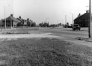 | s17152 Traffic island at the junctions of Herries Road/Moonshine Lane/Shirecliffe Road looking eastwardstowards caretakers house at Longley School (centre of picture) | |
| 9 | 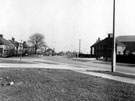 | s17153 Before new roundabout was constructed at the junctions of Herries Road/Moonshine Lane/Shirecliffe Road looking eastwards towards caretakers house at Longley School (centre of picture) | |
| 10 | 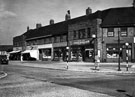 | s17160 Nos. 149 Jas. Davies, fruitier, No. 151 Mrs Hannah Burgin Castledine, grocers, 153 Gabriele Vincent, fish and chip shop, 155 Saml Dawson Drabble, butcher, 157 Jn Sydney Wilkinson, newsagent, Hatfield House Lane at the junction with Sicey Avenue |
Found 123551 records.