Search Results
Found 124530 records
| No | Image | Details | Add to Album |
|---|---|---|---|
| 1 | 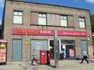 | a03775 Sainsbury's Local, No.50 Upper Hanover Street | |
| 2 | 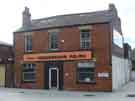 | a03776 Hendersons (Sheffield) Ltd., relish manufacturers, No.41 Leavygreave Road | |
| 3 | 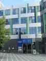 | a03777 Blackwell's University bookshop, Jessop West Building, University of Sheffield, junction of Leavygreave Road and Upper Hanover Street | |
| 4 | 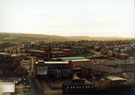 | u04960 Elevated view of Harrow Street leading to Napier Street with Cemetery Road Baptist Church and Sunday School; Renton Street and former S.H.Ward and Co. Ltd., Sheaf Brewery (extreme right) looking towards Flats in Little Sheffield | |
| 5 | 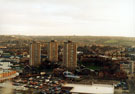 | u04961 Elevated view of Safeway Supermarket, International Pentecostal City Mission Church and Safeway's Car Park opening onto Napier Street showing Landsdowne Flats | |
| 6 | 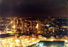 | u04962 Elevated nightime view of Safeway Supermarket, International Pentecostal City Mission Church and Safeway's Car Park opening onto Napier Street showing Landsdowne Flats | |
| 7 | 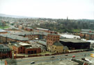 | u04963 Elevated view of the former S.H.Ward and Co. Ltd., Sheaf Brewery, Ecclesall Road awaiting coversion into flats looking towards the junction of Summerfield Street and Cemetery Road with the General Cemetery C of E Mortuary Chapel visible in t | |
| 8 | 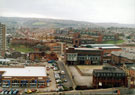 | u04964 Elevated view of Harrow Street leading to Napier Street with Cemetery Road Baptist Church and Sunday School; Renton Street and former S.H.Ward and Co. Ltd., Sheaf Brewery (extreme right) looking towards Flats in Little Sheffield v | |
| 9 | 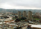 | u04965 Elevated view of Safeway Supermarket, International Pentecostal City Mission Church and Safeway's Car Park opening onto Napier Street showing Landsdowne Flats | |
| 10 | 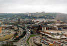 | u04966 Elevated view of Moor Foot roundabout looking towards St. Mary C. of E. Church, Bramall Lane and Norfolk Park Flats with Safeway Supermarket and car park right |
Found 124530 records.