Search Results
Found 123573 records
| No | Image | Details | Add to Album |
|---|---|---|---|
| 1 | 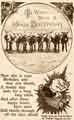 | p00480 To Wish You a Jolly Birthday - postcard from the Gloops Club organised by the Yorkshire Telegraph and Star | |
| 2 | 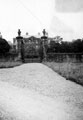 | s07972 Beauchief Hall Gates | |
| 3 | 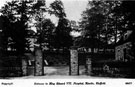 | s07989 Entrance, Edward VII Hospital, Rivelin Valley | |
| 4 | 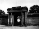 | s07991 Entrance to Botanical Gardens, Clarkehouse Road | |
| 5 | 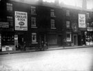 | s07999 Infirmary Road opposite West Don Street | |
| 6 | 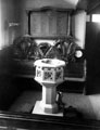 | s08029 Font, St. Simon's Church, Eyre Street | |
| 7 | 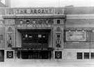 | s08039 The Regent Cinema, Barker's Pool, later became Gaumont. Designed by W.E. Trent. Opened 26th December, 1927. Became the Gaumont in 1946 and was twinned by Rank in 1969 and tripled in 1979. Closed 7th November 1985 | |
| 8 | 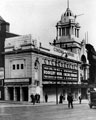 | s08044 Cinema House, Fargate (later renamed Barker's Pool). Designed by H.E. Farmer, opened 6th May 1913. Closed 12th August 1961 and demolished for redevelopment | |
| 9 | 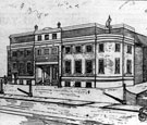 | s08047 Manor Cinema, City Road, near the junction of Prince of Wales Road and Ridgeway Road. Opened 12th December, 1927. Owned by Manor Picture House Ltd., with a total capacity of 1700. Closed 14th June 1969. | |
| 10 | 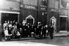 | s08052 The Central Hall, High Street, Beighton. Opened 7th August 1913. Destroyed by fire 29th March 1922, rebuilt and reopened September 1923. Closed 22 March 1963 and became a bingo hall. Later demolished |
Found 123573 records.