Record Detail
Large format version available - click on Zoom button to browse this image in a zoomable viewer
| y10024 | |
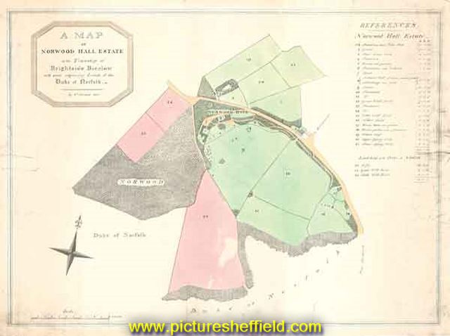
| A Map of Norwood Hall Estate in the Township of Brightside Bierlow and some adjoining Lands of the Duke of Norfolk | |
| Sheffield_Shirecliffe | |
| 1832 | |
| 1800-1850 | |
Norwood Hall and Grounds (later known as Bishopholme), Norwood Lane later named Herries Road. Original at Sheffield Local Studies Library: S (15) 1 L. |
Copying and access
This digital image, and all images on Picture Sheffield, are protected by copyright. You may use it for private study or non-commercial research, with due acknowledgement.
You may share it on social media via a linked post or by citing www.picturesheffield.com together with the Image Reference, unless its copyright is noted as belonging to another organisation. You must not reproduce it by any other means without permission.