Search Results
Found 46 records
| No | Image | Details | Add to Album |
|---|---|---|---|
| 1 |  | y18027 City of Sheffield, Round Walk: Hunter's Bar (Endcliffe Park) to Bunting Nook (Graves Park) 10 miles, [?1950s] | |
| 2 | 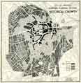 | y10457 City of Sheffield Central Planning Scheme, Historical Growth | |
| 3 | 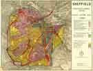 | y11092 Sheffield (Central) Planning Scheme; Draft Scheme Map | |
| 4 |  | y18011 Plan of Sheffield | |
| 5 |  | y18019 Geographia plan of Sheffield, [1937] | |
| 6 |  | y18021 Plan of Sheffield | |
| 7 | 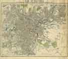 | y09470 Plan of Sheffield to accompany the handbook for the meeting of the British Association | |
| 8 |  | y09699 Bacon's Atlas of Great Britain - Sheffield | |
| 9 | 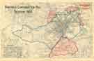 | y10000 Sheffield Corporation Bill - tramways and parks | |
| 10 | 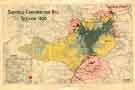 | y09974 Sheffield Corporation Bill - land use density |
Found 46 records.